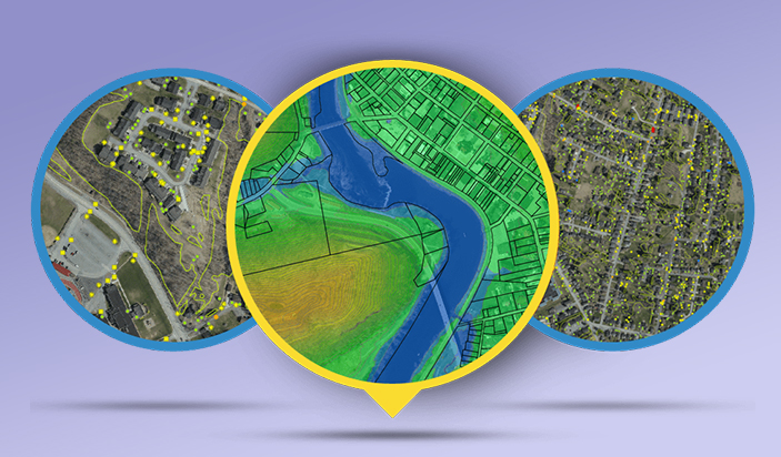
Geospatial Solutions
Geospatial data is information that describes objects, events or other features that have a physical position on or near the earth's surface. Geospatial data typically combines location information and attribute information with temporal information.
Some of the most common geospatial technologies include the following
- Remote Sensing
- Geographic Information System (GIS)
- Global Positioning System (GPS)
- Internet Mapping Technologies